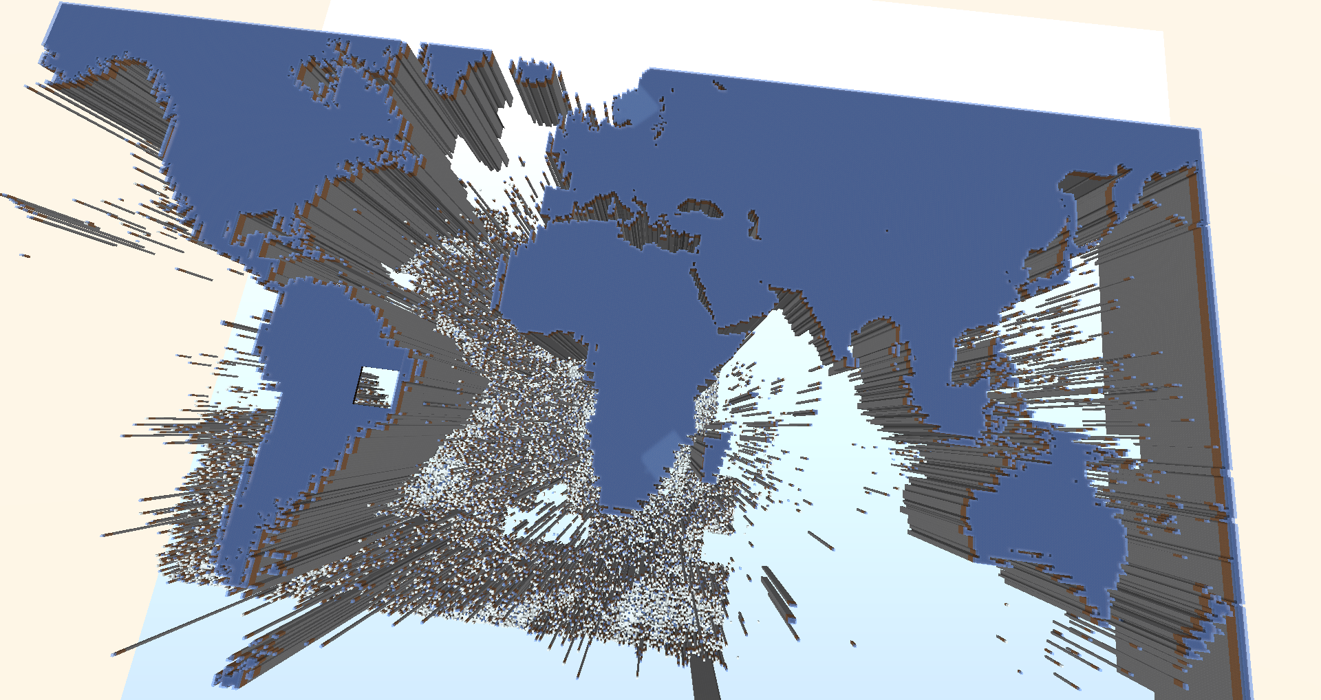
Testing with ocean high maps - there are really a lot of deep holes O.O

341026921s ago, by Antonio 
+Antonio Noack Nice,although The interpretation of the map used a mercator projection,the part of the equator line somehow is equally big as their true comparision part,or is it that they used a gnomic projection,i wish you can continue this project to another whole new lvl
341025917s ago, by stevieYanuza 
+Mundo Gamer I wrote a plugin to generate the world - the data is from OpenSeaMap - I just looked into the page code and worked with their links
+stevie yanuza :D openSeaMap is the source - the reason for this is, that the area there is very flat
Como você fez isso
341026301s ago, by AdrielHigor 
Also the nordic countries are wrong too
+Antonio Noack almost accurate yes? Except for South east Asia
+stevie yanuza yeah the high of the continents is over the normal value because of the card data(they wanted to show, what is ocean and what´s continent)
Error 404 : SEA is not correct